Aerial photography has transformed how we see Vietnam. From terraced rice fields to the Mekong Delta, a drone opens up perspectives impossible from the ground.
Legal Requirements in Vietnam
- Drones under 250g require minimal permits for recreational use
- Commercial operations require permits from CAAV
- No-fly zones: airports (8km radius), military areas, government buildings
- Always check local regulations — rules vary by province
Camera Settings for Aerial Photography
- Shutter speed: 2× your frame rate (30fps → 1/60s)
- ISO: as low as possible, use ND filters instead
- White balance: manual for consistency
- Shoot RAW + JPEG simultaneously
Drone perspective reveals Vietnam’s stunning patterns from above
Best Locations in Vietnam
- 🌾 Mù Cang Chải — Rice terraces, best Sept–Oct
- 🌊 Hạ Long Bay — Limestone karsts over emerald water
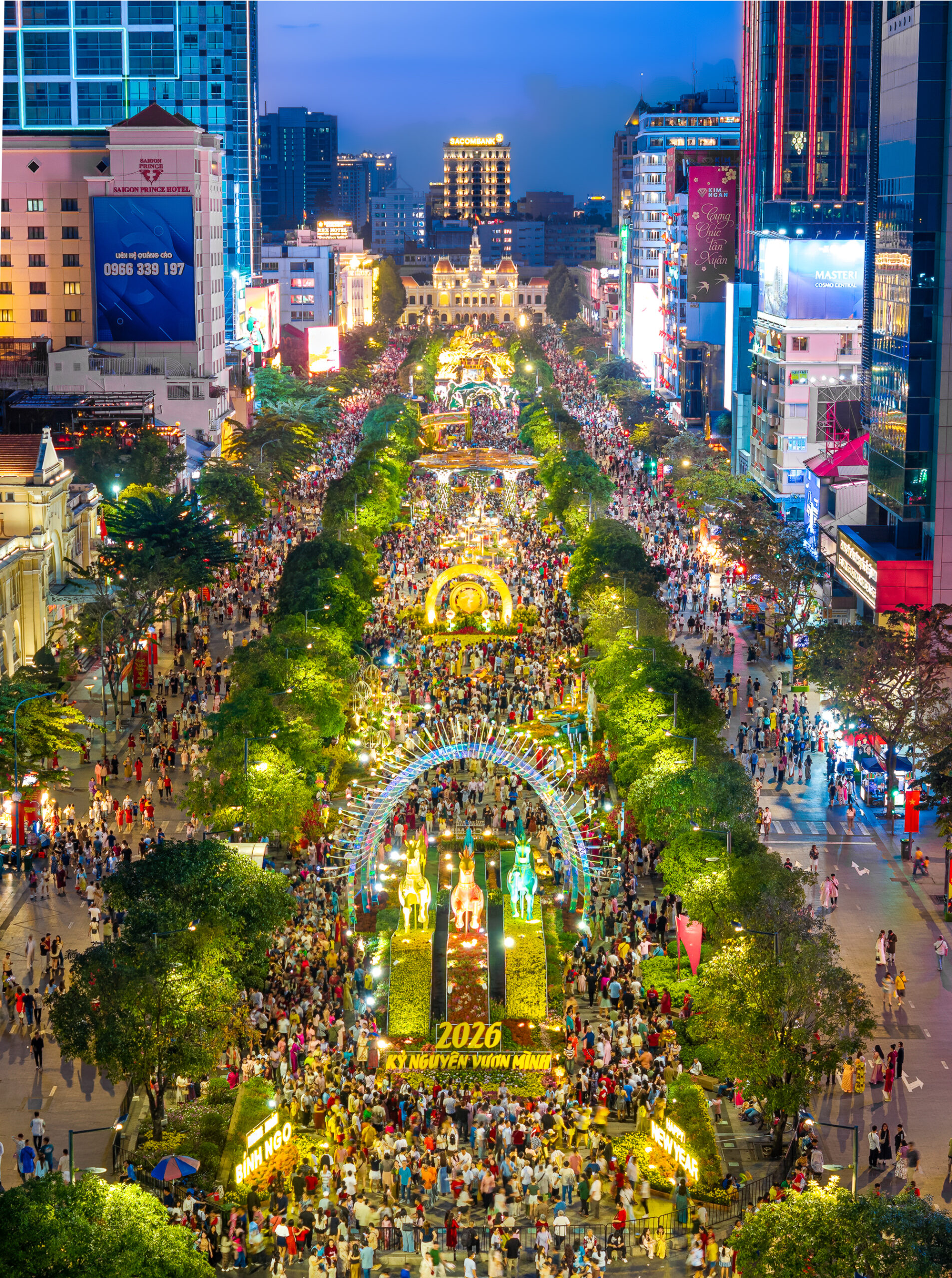
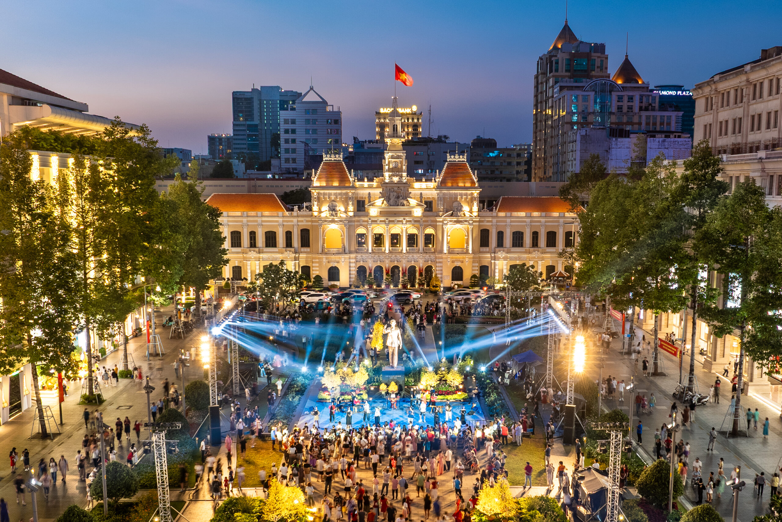
- 🏙️ Ho Chi Minh City — Urban patterns at sunset
- 🌸 Đà Lạt — Valley mist in early morning
HDR drone photography captures the full dynamic range of Vietnam’s landscapes
Browse aerial photography from our community at Exchange Photo.